Press kit
In one line
Balise plans your days in the mountains on official mapping, natively on Mac and iPhone.
Short description
Balise is a native macOS and iOS application for topographic mapping and route planning, built on the open data of four national surveys. Stack the official layers — Plan IGN, aerial imagery, the slope map, BD Forêt, the cadastre, historical surveys — draw your route, read its elevation profile, export the GPX your field app will read. No account, no subscription, no server in between.
Long description
Route planning is a desk activity: a large screen, precise clicking, GPX files to sort, profiles to read. The French competition — Iphigénie, SityTrail, Visorando, WeTrek, IGN's ownCartes IGN application — is designed for mobile, and its desktop versions are web applications. Balise starts from the other end: real Apple applications, written in Swift and SwiftUI, drawn by MapKit, with no web layer inside. The iPhone version is a peer of the Mac rather than a viewer, and the library follows through the user's own private iCloud.
The product is French first and stays that way, but it is no longer French only: five swisstopo layers and swissALTI3D elevation cover Switzerland, the Mapa Topográfico Nacional and PNOA orthophotography cover Spain with the MDT05 model, and five USGS layers with 3DEP cover the United States. The country is read from the region under the window, against real borders rather than a bounding box, and elevation is routed per point: a track crossing a frontier takes its heights from the right side. What stays French, and what the application announces rather than failing at: snapping a route to the footpath network, which relies on IGN's BD TOPO, and the two heritage registers. The mountain-hut overlay covers France, Switzerland and Spain.
The business model fits in a line: the application is free, two features are paid. The Pro unlock, €9.90 as a one-off purchase, covers route drawing and the point-of-interest overlays. All the mapping, the stacking, the elevation and the export stay free — including Apple's basemaps, which it would in any case breach the MapKit terms to charge for.
The ten IGN layers on offer are not typed by hand. The catalogue is generated from the Géoplateforme's GetCapabilities and versioned, so that a layer moving at IGN reads as a reviewable diff rather than as a blank map at the user's end. The elevation comes from IGN's own service, whose terrain model is specific to French territory, not from an approximate global one.
Attribution is treated as a feature. The Licence Ouverte / Etalab 2.0 requires citing the source and its update date: Balise shows it as a piece of interface, details it in a dedicated window, and carries it into the GPX files it exports. Layers whose licence does not permit redistribution — IGN's SCAN maps — are not enabled, and the application says why rather than omitting them.
Facts
| Name | Balise |
|---|---|
| Publisher | Magenta Creations |
| Platform | macOS 26 or later · iOS 26 or later |
| Category | Travel / Navigation |
| Version | 1.4.0 |
| Languages | English and French |
| Coverage | France (IGN), Switzerland (swisstopo), Spain (IGN España), United States (USGS) |
| Price | Free. Pro unlock as a single in-app purchase at €9.90 (launch price) — route drawing and the point overlays |
| Data | IGN Géoplateforme — Licence Ouverte / Etalab 2.0 · swisstopo · IGN España (CC BY 4.0) · USGS — public domain |
| Site | https://balise.mgcrea.io |
What Balise does not do
- No turn-by-turn guidance in the field — that is your mobile application's job.
- No social platform: no account, no route sharing between members.
- No Windows or Linux version, and that is not an oversight.
- No printing yet: no paper or PDF output in version 1.0.
- No offline region download yet — the tile cache is volatile.
Visuals
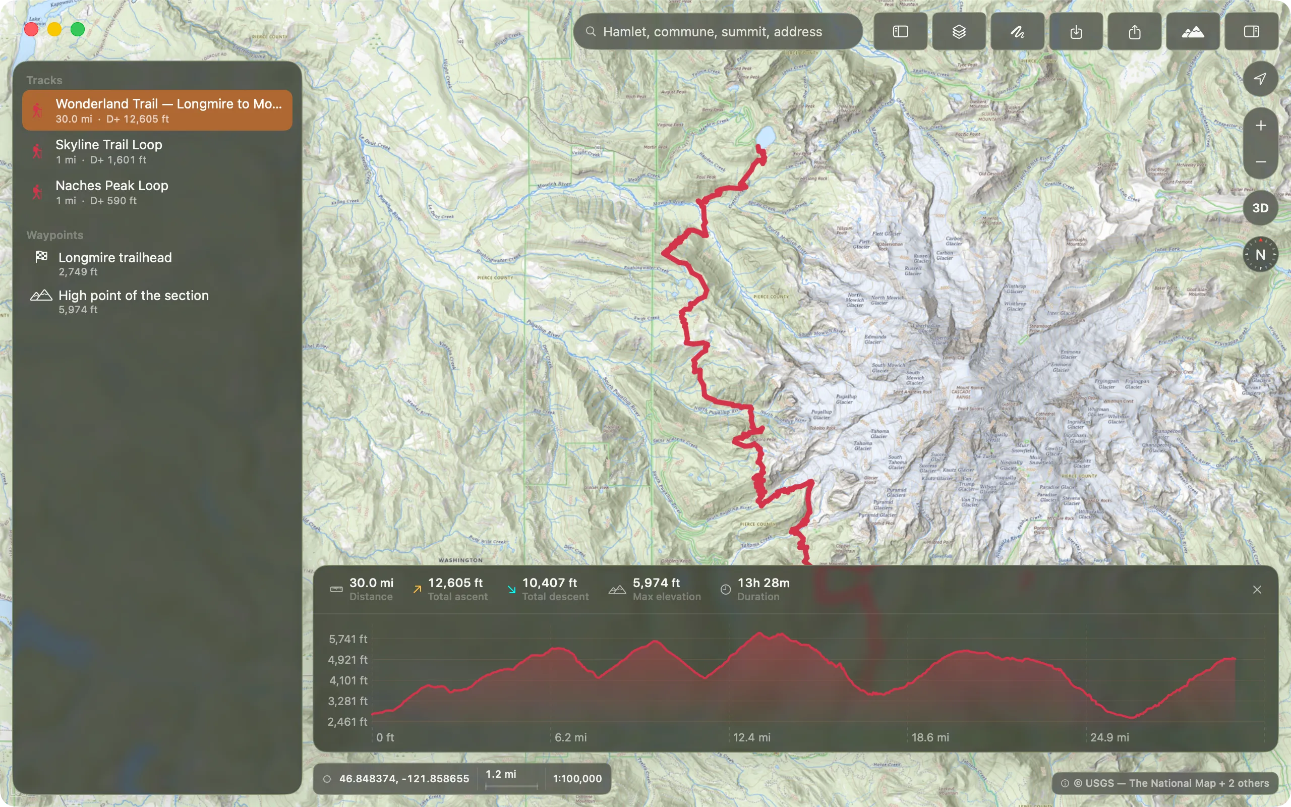
The screenshots are produced by the project's automated capture pipeline, from demonstration data — no real user track appears in them. This set shows the application's English interface; the French press kit carries the same screens in French.
Application icon (SVG)Mark only (SVG)Share card (PNG)

The mark
The name and the mark are the painted GR waymark: a white bar above a red one, daubed on the rocks of every French long-distance path. In France, nobody needs it explained. Write “balise” in lower case in the logotype, “Balise” with an initial capital in body text.
Data licences
The map data comes from IGN, under the Licence Ouverte / Etalab 2.0. Any reuse of a screenshot showing the map must keep the source credit visible in the image.